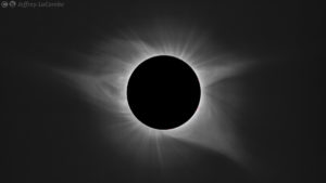
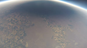
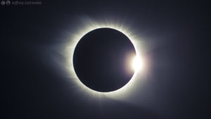
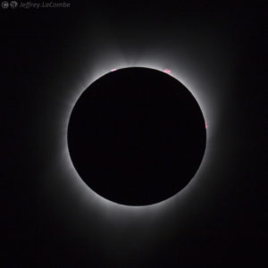
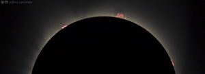
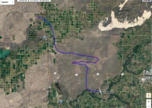
I’ve been back for awhile from our Eclipse Balloon Project launches. We’re still processing data we recorded from cameras and data loggers from 3 HAB balloon launches outside of Twin Falls, Idaho, (really from Camas, Idaho), but wanted to share some of the incredible visuals. Click on any photo to see enlarged.
Video of the shadow moving across the Earth’s surface :
More photos from Dr. LaCombe:
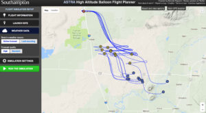
The prediction was very accurate – this is actually 10 predictions on one screenshot – yellow dots are predicted burst and blue predicted landing spot:
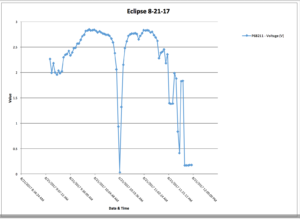
I did send up a small solar panel attached to a voltage data logger. We usually do this to record data on what happens to the voltage as the panel gets higher and much colder. But this is interesting for obvious reasons:
Note the voltage goes up as the altitude rises over time … then “something happens” that causes the voltage to drop to almost zero.
This balloon came down within sight of a temporary command center of sheriffs and other emergency personnel that had been set-up to help with the crowds and any issues that may have arisen. You’ll note that at the end of the data it seems to have gotten dark again. The sheriff investigated what had landed nearby and picked up our payload and placed it in their command vehicle until we showed up. Once we had described it they briefly handcuffed Dr. Wang and I for endangering the public … then had a good laugh and took the handcuffs off.
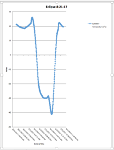
Nothing too surprising about our temperature readings – at 28,000 meters (92,000 feet) it was about -42C :
I have other data as well I might post later.
We successfully launched 3 balloons – one got to over 110,000 feet, but we also had 2 balloons pop on the ground during and just after inflation – one seemed defective, the other probably got stressed in the relatively high winds at the launch site and popped just as we were connecting payloads. Fortunately we had enough gas to fill 2 more balloons.
Learning is messy!!

